-
Countries
-
Data and Analysis
-
Special Focus
-
Crisis Responses
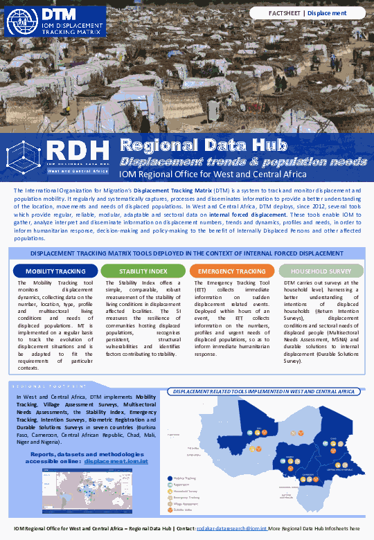
This infosheet provides an overview of displacement related data collection, analysis and dissemination activities carried out by the Displacement Tracking Matrix (DTM) in West and Central Africa, as well as the role and function of the Regional Data Hub at IOM's Regional Office for West and Central Africa in connection to these activities.
This infosheet provides a snapshot of the activities, objectives and structure of the Regional Data Hub at IOM's Reginal Office for West and Central Africa.
Contact
DTM Sudan; dtmsudan@iom.int
Language
English
Location
Sudan
Snapshot Date
Jan 09 2022
Activity
- Mobility Tracking
- Event Tracking
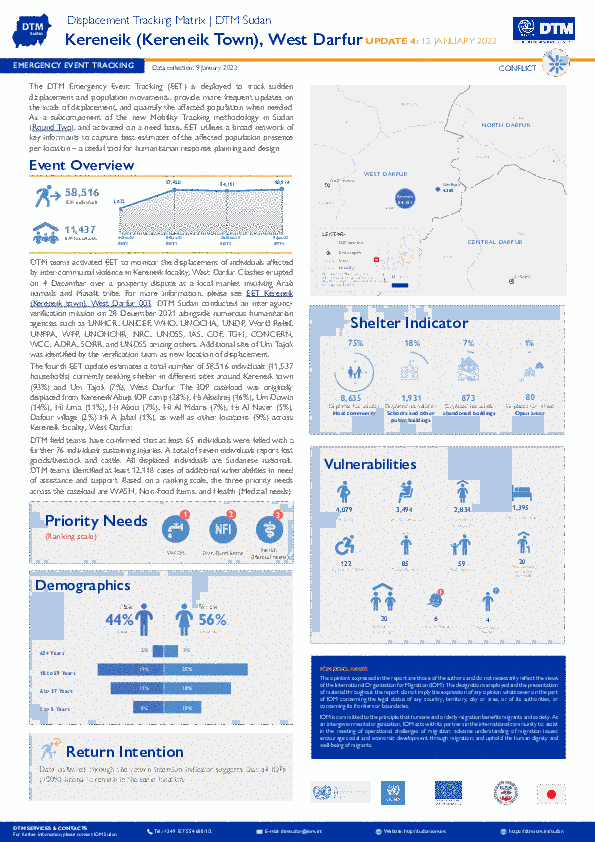
The DTM Emergency Event Tracking (EET) is deployed to track sudden displacement and population movements, provide more frequent updates on the scale of displacement, and quantify the affected population when needed. As a subcomponent of the new Mobility Tracking methodology in Sudan (Round Two), and activated on a needs basis, EET utilises a broad network of key informants to capture best estimates of the affected population presence per location – a useful tool for humanitarian response planning and design
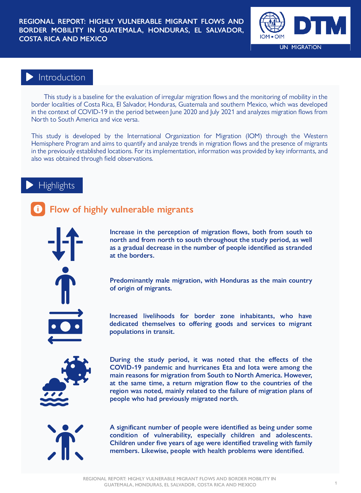
This study is a baseline for the evaluation of irregular migration flows and the monitoring of mobility in the border localities of Costa Rica, El Salvador, Honduras, Guatemala and southern Mexico, which was developed in the context of COVID-19 in the period between June 2020 and July 2021 and analyzes migration flows from North to South America and vice versa.
This study is developed by the International Organization for Migration (IOM) through the Western Hemisphere Program and aims to quantify and analyze trends in migration flows and the presence of migrants in the previously established locations. For its implementation, information was provided by key informants, and also was obtained through field observations.
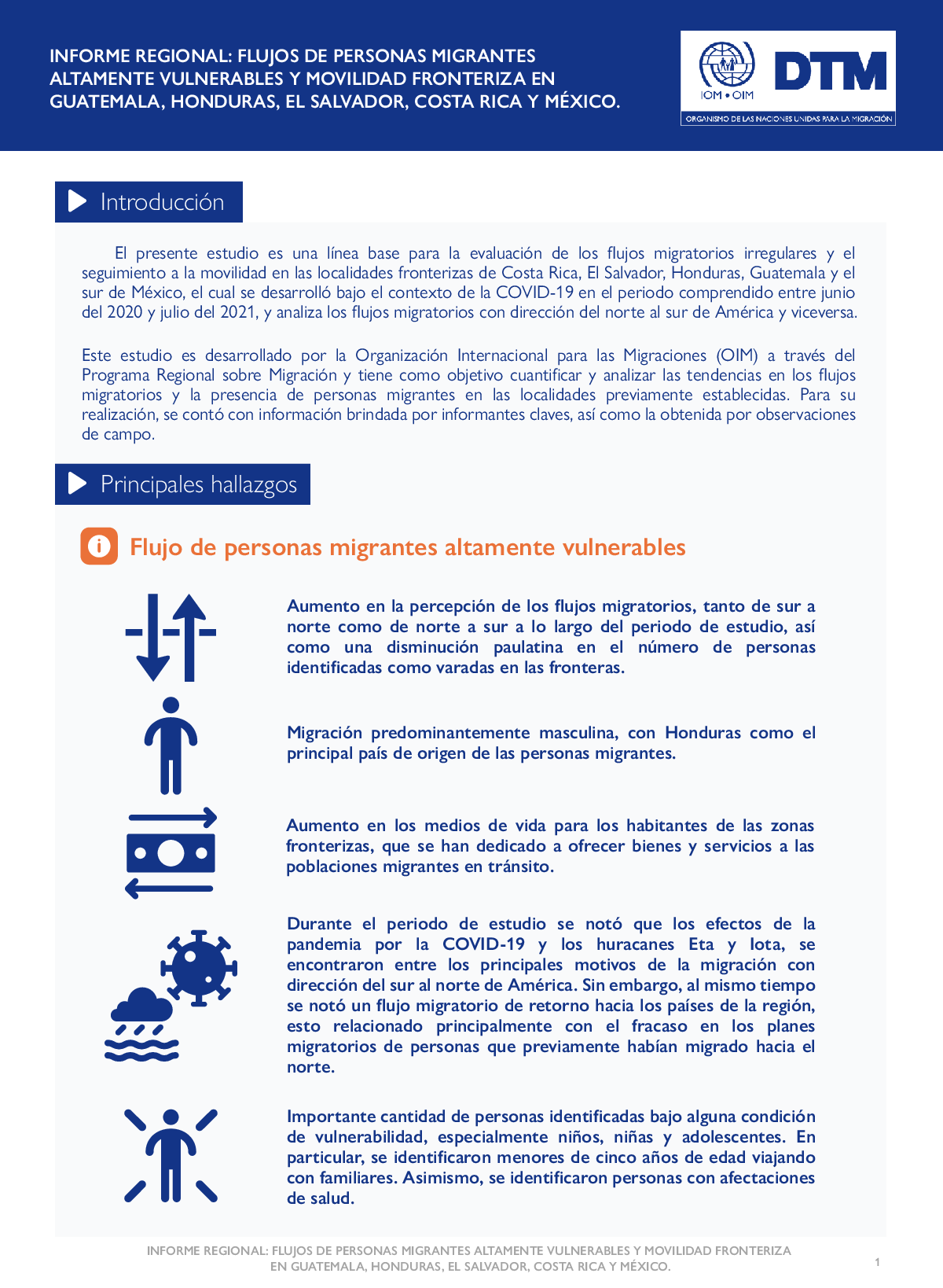
El presente estudio es una línea base para la evaluación de los flujos migratorios irregulares y el seguimiento a la movilidad en las localidades fronterizas de Costa Rica, El Salvador, Honduras, Guatemala y el sur de México, el cual se desarrolló bajo el contexto de la COVID-19 en el periodo comprendido entre junio del 2020 y julio del 2021, y analiza los flujos migratorios con dirección del norte al sur de América y viceversa.
Este estudio es desarrollado por la Organización Internacional para las Migraciones (OIM) a través del Programa Regional sobre Migración y tiene como objetivo cuantificar y analizar las tendencias en los flujos migratorios y la presencia de personas migrantes en las localidades previamente establecidas. Para su realización, se contó con información brindada por informantes claves, así como la obtenida por observaciones de campo.
Contact
dtmlibya@iom.int
Location
Libya
Activity
- Mobility Tracking
- Baseline Assessment
Period Covered
Oct 01 2021 -Nov 30 2021
A baseline assessment is a sub-component of mobility tracking. It aims to collect data on IDP, migrant or returnee population presence in a defined administrative area of the country.
Population Groups
Survey Methodology
Unit of Analysis Or Observation
Type of Survey or Assessment
Keywords
Geographical Scope
Administrative boundaries with available data
The current dataset covers the following administrative boundaries
Contact
DTM Libya, DTMLibya@iom.int
Language
English
Location
Libya
Period Covered
Oct 01 2021
Nov 30 2021
Activity
- Flow Monitoring
- Mobility Tracking
- Baseline Assessment
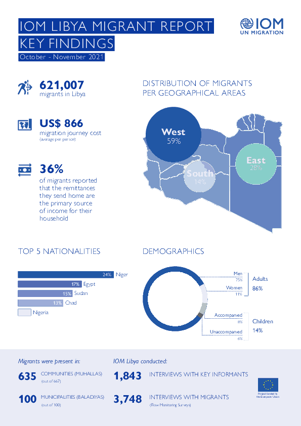
This infographic presents the key findings of Round 39 of the mobility tracking component of the Displacement Tracking Matrix (DTM) programme in Libya.

Contact
DTM Libya, DTMLibya@iom.int
Language
English
Location
Libya
Period Covered
Oct 01 2021
Nov 30 2021
Activity
- Mobility Tracking
- Baseline Assessment
DTM Libya identified a total of 621,007 migrants from over 43 nationalities in the 100 Libyan municipalities during Round 39 of data collection (October – November 2021). In line with a trend which started at the beginning of 2021, the number of migrants in Libya has continued to increase during the months of October and November while remaining slightly lower than in 2019 for the corresponding reporting period (654,081 migrants during Round 28). In 2020, the migrant population in Libya decreased following the start of the COVID-19 pandemic and the subsequent economic downturn as well as tightened security controls and mobility restrictions.
Contact
SouthSudanDTM@iom.int
Language
English
Location
South Sudan
Period Covered
Nov 01 2021
Dec 31 2021
Activity
- Site Assessment
- Mobility Tracking
- Baseline Assessment
- Village Assessment
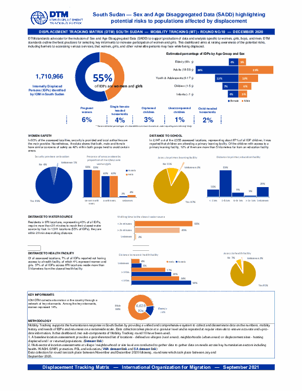
DTM standards advocate for the inclusion of Sex and Age Disaggregated Data (SADD) to support production of data and analysis specific to women, girls, boys, and men. DTM standards outline the best practices for selecting key informants to increase participation of women and girls. This dashboard aims at raising awareness of the potential risks, including barriers to accessing various services, that women, girls, and other vulnerable persons may face while being displaced.
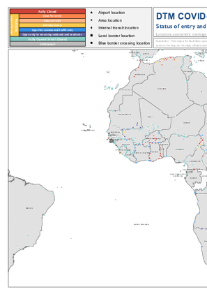
The current outbreak of COVID-19 has affected global mobility in complex and unprecedented ways in the form of various travel restrictions, suspension of air travel, and border closures. To better understand this, the International Organization for Migration (IOM) has developed a global mobility database to map these impacts on human mobility, across global, regional, and country levels. Furthermore, COVID-19 has had a disproportionate impact on vulnerable populations in camps and camp-like settings as well as exacerbated the vulnerabilities of mobile populations who may now be stranded owing to COVID-19 related mobility restrictions. This data is particularly important when addressing specific needs faced by migrants and mobile populations.
IOM has developed a global mobility database mapping the status of different Points of Entry (PoE) and Key Locations of Internal Mobility, globally. These include airports, land border crossing points (could be rail or road), blue border crossing points (sea, river or lake), internal transit points, and areas of interest. For each point of entry, data is collected on the type of restriction, measured applied, and the timeframe, as well as the population category that may be affected by the restrictive measures. This workstream uses direct input from IOM missions and this dashboard displays regularly updated mobility restrictions at the location level.
