-
Countries
-
Data and Analysis
-
Special Focus
-
Crisis Responses
East, Horn and Southern Africa
DTM East, Horn and Southern Africa
DTM Operations in the region
- Active DTM operation
- Past DTM operation
South Sudan — Urban Inter Sectoral Needs Assessment (ISNA) - Rubkona County (September - October 2022)
Between September and October 2022, the International Organization for Migration’s Displacement Tracking Matrix (IOM DTM) undertook its third household-level multi-sector assessment of selected urban areas and camps for internally displaced persons (IDPs) in South Sudan
South Sudan — Inter Sectoral Needs Assessment Report (ISNA) - Rural Component (July - August 2023)
The overall goal of the 2023 humanitarian Inter-Sector Needs Assessment (ISNA) was to collect and analyze data on the needs and vulnerabilities of households, displacement and migration history, shelter and non-food items (SNFI), water, sanitation and
RDC — Nord-Kivu : Rapport d'Enregistrement — (Mars 2024)
Suite à l’escalade des hostilités entre le groupe armé M23 et les Forces armées congolaises (FARDC) et leurs alliés à la fin du mois de janvier 2024, une importante crise de déplacement s’est développée dans la région orientale de la République démocratique du Congo (RD
Mar 28 2024
RDC — Nord-Kivu : Rapport d'Enregistrement —…
South Sudan — Urban Inter Sectoral Needs Assessment (ISNA) - Wau County (September - October 2022)
Between September and October 2022, the International Organization for Migration’s Displacement Tracking Matrix (IOM DTM) undertook its third household-level multi-sector assessment of selected urban areas and camps for internally displaced persons (IDPs) in South Sudan
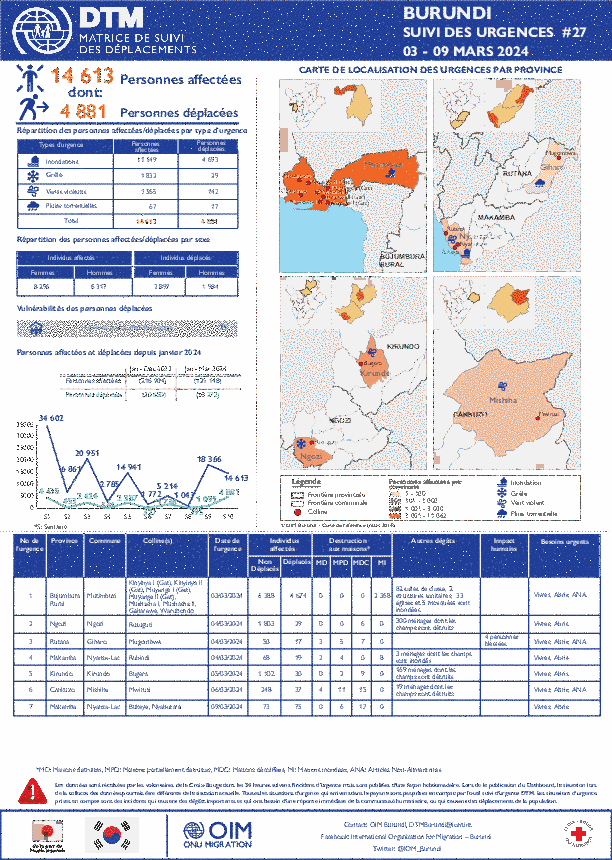
Burundi — Suivi des urgences (03 Mars - 09 Mars 2024)
La DTM a identifié 14,613 personnes affectées, dont 4,881 personnes déplacées par les Inondations, la grêle, les vents violents, et les pluies torrentielles dans les provinces de Bujumbura Rural, Ngozi, Rutana, Makamba, Kirundo, Cankuzo, et Makamba.
Somalia — Emergency Trend Tracking Report — (January, 2024)
To monitor El Niño-related displacements, DTM Somalia runs ETT activities in 43 districts within eleven regions in Somalia. ETT is a crisis-based tool that tracks sudden displacement triggered by specific events or emerging crises.
Burundi — Suivi des urgences (10 Mars - 16 Mars 2024)
La DTM a identifié 5,209 personnes affectées, dont 1,168 personnes déplacées par les vents violents, les inondations, et les pluies torrentielles dans les provinces de Makamba, Cankuzo, Rutana, Rumonge, et Bujumbura Maie.
Ethiopia — Flow Monitoring Dashboard 53 (February 2024)
In February 2024, a total of 36,277 movements were observed across the six flow monitoring points (FMPs) in Ethiopia. This represents a 4.2% decrease in daily average movements in comparison with January 2024 when an average of 1,305 movements per day were observed.
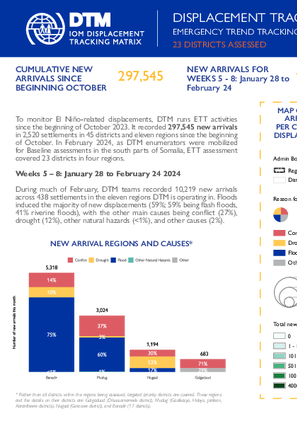
Somalia — Emergency Trend Tracking Report — (February, 2024)
To monitor El Niño-related displacements, DTM Somalia runs ETT activities in 23 districts within four regions in Somalia. ETT is a crisis-based tool that tracks sudden displacement triggered by specific events or emerging crises.
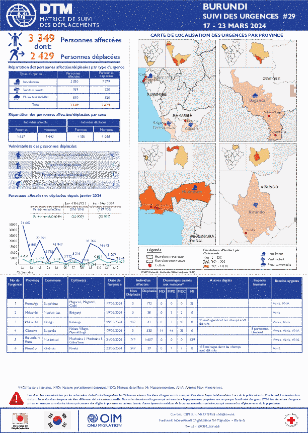
Burundi — Suivi des urgences (17 - 23 MARS 2024)
La DTM Burundi a le plaisir de vous partager (dans le lien ci-dessus) des informations sur les urgences qui se sont produites au Burundi en dates du 17 au 23 mars 2024.
Mar 27 2024
Burundi — Suivi des urgences (17 - 23 MARS 2024)
Somalia - Baseline Assessment Report - Round 2 (February 2023 - January 2024)
Baseline 2, an area-based assessment, is the second step of Mobility Tracking implemented at settlement level and aims to quantify presence of population categories.
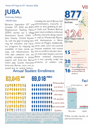
South Sudan — Juba County Village Assessment Survey Preliminary Findings (1 September - 19 October 2023)
Between 1 September and 13 October 2023, the IOM's Displacement Tracking Matrix (DTM) carried out a Village Assessment Survey (VAS) in Juba County, Central Equatoria, with the goal of aiding planning for transition and recovery programs by mapping the availability of basic needs, services and inf
Mozambique — Movement Alert Report —104 (08Feb - 22MAR 2024)
Between 08 February and 22 March 2024, sporadic attacks and fear of attacks by Non-state Armed Groups in Quissanga and Ibo triggered the cumulative displacement of 465 individuals (corresponding to 189 families). [For more see Mozambique - Event Tracking Tool Dashboard].
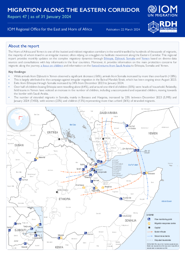
Migration Along the Eastern Corridor (January 2024)
Key finding in the Migration Along the Eastern Corridor in January 2024:
Displacement Situation Update, Erati, Nampula (15 March 2024)
IOM's Displacement Tracking Matrix (DTM), in collaboration with Mozambique’s Natonal Institute for Disaster Management (INGD) and local authorities in Erati, Nampula, conducted a household-level verication exercise to assess the remaining population displaced by attacks
South Sudan — Wau County Village Assessment Survey- Preliminary Findings (23 September - 19 October 2023)
Between 23 September and 19 October 2023, IOM's Displacement Tracking Matrix (DTM) conducted a Village Assessment Survey (VAS) in Wau County, Western Bahr el Ghazal.
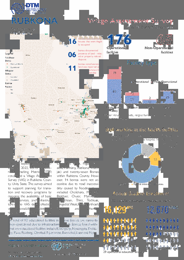
South Sudan — Rubkona County Village Assessment Survey- Preliminary Findings (14 September - 3 October 2023)
Between 14 September and 3 October 2023, IOM's Displacement Tracking Matrix (DTM) conducted a Village Assessment Survey (VAS) in Rubkona County, Unity State.
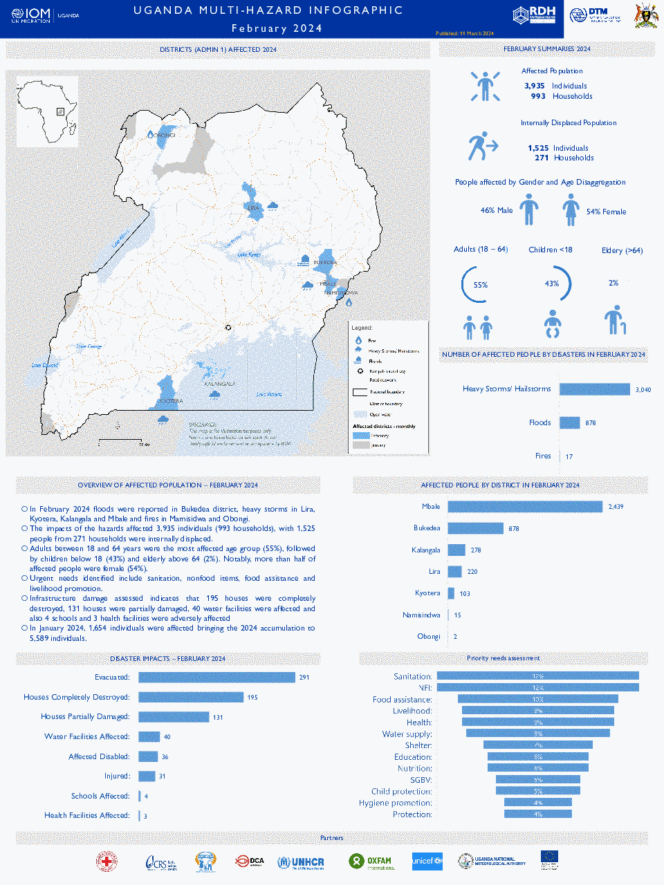
Uganda - Info Sheet: Multi-Hazard Response/DRR Platform (February 2024)
In February 2024, floods were reported in the Bukedea district, heavy storms in Lira, Kyotera, Kalangala and Mbale and fires in Mamisidwa and Obongi. The impacts of the hazards affected 3,935 individuals (993 households) with 1,525 people from 271 households were internally displ
Mozambique – Tropical Storm Filipo ACs Dashboard, 14 March 2024 Update#2
Mozambique’s National Institute for Disaster Management (INGD) estimates more than 525,000 people to be affected by the landfall of Tropical Storm Filipo directly impacting communities of Inhambane, Gaza, Sofala and Maputo from 14 March.
DRC — North Kivu: M23 Crisis Analysis (15 March 2024)
In the eastern region of the Democratic Republic of Congo (DRC), particularly in North Kivu, a prolonged and increasingly complex conflict persists, characterized by the presence of numerous armed actors such a
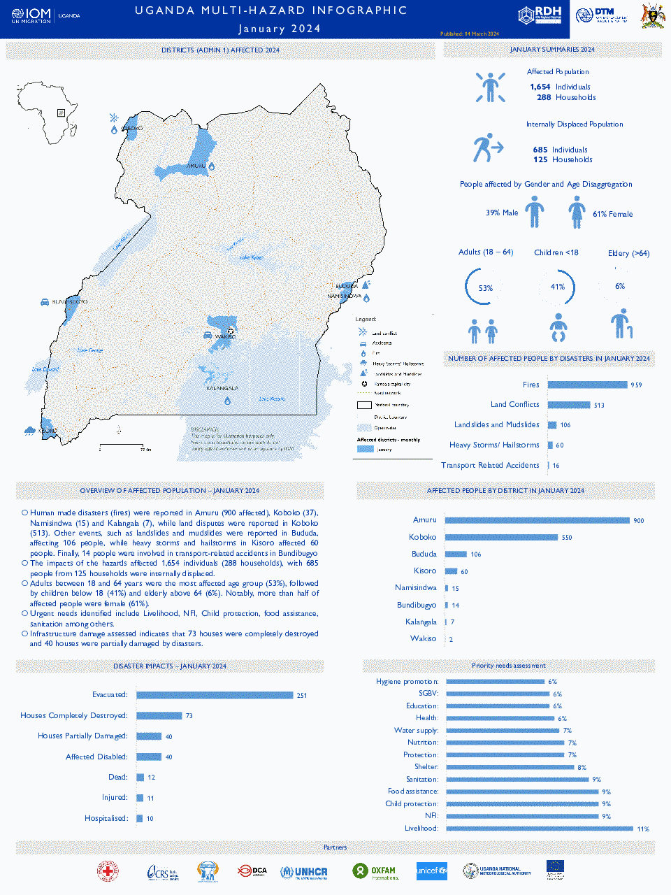
Uganda - Info Sheet: Multi-Hazard Response/DRR Platform (January 2024)
Human made disasters (fires), land disputes and extreme weather events such as landslides, mudslides as well as heavy storms and hailstorms have led to significant devastation in the districts of Amuru, Koboko, Bududa, Kisoro, Namisindwa, Bundibugyo, Kalangala and Wakiso.
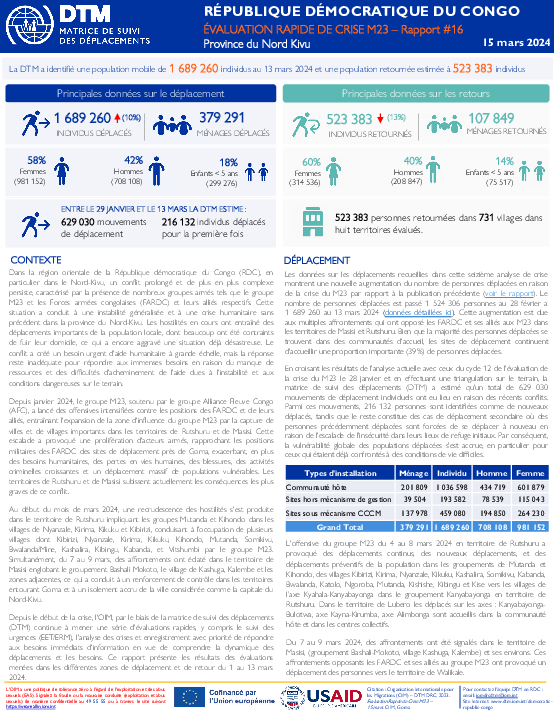
RDC — Nord Kivu: Évaluation Rapide de Crise M23 (15 Mars 2024)
Dans la région orientale de la République démocratique du Congo (RDC), en particulier dans le Nord-Kivu, un conflit prolongé et de plus en plus complexe persiste, caractérisé par la présence de nombreux groupes
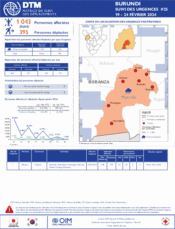
Burundi — Suivi des urgences (19 - 24 Février 2024)
La DTM a identifié 1,043 personnes affectées, dont 395 personnes déplacées par les pluies torrentielles dans les provinces de Bubanza.
Multi-Sectoral Location Assessment - Mozambique - Round 12 - July 2023
This Multi-Sectorial Location Assessment (MSLA) report, which presents findings from the International Organization for Migration’s (IOM) Displacement Tracking Matrix (DTM) Round 12 assessments, aims to enhance understanding of the extent of internal displacements and t
Pagination
Ethiopia - Site Assessment Round 27
Dec 13 2021
A site assessment is a sub-component of mobility tracking. It aims to collect data on population presence, living conditions and needs in a particular displacement site or community.
Northern Mozambique Crisis — Baseline Assessment Dataset Round 14 (November 2021)
Dec 10 2021
A baseline assessment is a sub-component of mobility tracking. It aims to collect data on IDP, migrant or returnee population presence in a defined administrative area of the country.
Ethiopia - Emergency Site Assessment - Northern Ethiopia Crisis - Round 8
Dec 10 2021
The Emergency Site Assessment is a sub-component of mobility tracking. It aims to collect data on population presence, living conditions and needs in a particular displacement site or community.
Northern Mozambique Crisis — Multi-Sectorial Location Assessment KMZ File — Round 6
Dec 08 2021
KMZ is a file extension for a placemark file used by Google Earth. KMZ stands for Keyhole Markup language Zipped. It is a compressed version of a KML (Keyhole Markup Language) file. Keyhole was the founding company of the Earth Viewer software that Google Earth was built upon. KMZ files can…
Northern Mozambique Crisis — Multi-Sectorial Location Assessment Dataset — Cabo Delgado, Nampula And Niassa— Round 6
Dec 08 2021
A site assessment is a sub-component of mobility tracking. It aims to collect data on population presence, living conditions and needs in a particular displacement site or community.
Zimbabwe — Tropical Cyclone Idai - Baseline Assessment — Round 2
May 31 2019
A baseline assessment is a sub-component of mobility tracking. It aims to collect data on IDP, migrant or returnee population presence in a defined administrative area of the country.
Zimbabwe — Tropical Cyclone Idai - Baseline Assessment — Round 7
Dec 02 2021
A baseline assessment is a sub-component of mobility tracking. It aims to collect data on IDP, migrant or returnee population presence in a defined administrative area of the country.
Zimbabwe — Tropical Cyclone Idai - Baseline Assessment — Round 4
Jul 13 2020
A baseline assessment is a sub-component of mobility tracking. It aims to collect data on IDP, migrant or returnee population presence in a defined administrative area of the country.
Burundi — Baseline Assessment — Round 66
Dec 01 2021
A baseline assessment is a sub-component of mobility tracking. It aims to collect data on IDP, migrant or returnee population presence in a defined administrative area of the country.
South Sudan — Flow Monitoring Registry — August 2021
Dec 01 2021
Flow monitoring aims to derive quantitative estimates of the flow of individuals through specific locations and to collect information about the profile, intentions and needs of the people moving and to quantify highly mobile populations by providing a picture of complex mobility dynamics.
South Sudan - Village Assessment Survey - Akobo and Pibor Health Technical Questionnaire (March - April 2021)
Dec 01 2021
IOM’s Displacement Tracking Matrix (DTM) conducted the Village Assessment Survey (VAS) to facilitate planning for transition and recovery programs. Its main objectives are to map the availability of basic needs, services, infrastructure and to identify priority areas for intervention within…
South Sudan - Village Assessment Survey - Akobo and Pibor Education Technical Questionnaire (March - April 2021)
Dec 01 2021
IOM’s Displacement Tracking Matrix (DTM) conducted the Village Assessment Survey (VAS) to facilitate planning for transition and recovery programs. Its main objectives are to map the availability of basic needs, services, infrastructure and to identify priority areas for intervention within…
South Sudan - Village Assessment Survey - Akobo and Pibor Settlements (March - April 2021)
Dec 01 2021
IOM’s Displacement Tracking Matrix (DTM) conducted the Village Assessment Survey (VAS) to facilitate planning for transition and recovery programs. Its main objectives are to map the availability of basic needs, services, infrastructure and to identify priority areas for intervention within…
South Sudan - Village Assessment Survey - Akobo and Pibor FIS (March - April 2021)
Dec 01 2021
IOM’s Displacement Tracking Matrix (DTM) conducted the Village Assessment Survey (VAS) to facilitate planning for transition and recovery programs. Its main objectives are to map the availability of basic needs, services, infrastructure and to identify priority areas for intervention within…
South Sudan - Village Assessment Survey - Akobo and Pibor Boma Mapping Questionnaire (March - April 2021)
Dec 01 2021
IOM’s Displacement Tracking Matrix (DTM) conducted the Village Assessment Survey (VAS) to facilitate planning for transition and recovery programs. Its main objectives are to map the availability of basic needs, services, infrastructure and to identify priority areas for intervention within…
South Sudan - Baseline Locations Round 11
Dec 01 2021
Mobility Tracking quantifies the presence of internally displaced persons (IDPs) and returnees in South Sudan in displacement sites and host communities. As of September 2021, IOM DTM mapped a total of 2,017,236 IDPs (7% previously displaced abroad) and 1,782,803 returnees (34% per cent from abroad…
Baseline Assessment - South Kivu Round 7
Mar 09 2022
A baseline assessment is a sub-component of mobility tracking. It aims to collect data on IDP, migrant or returnee population presence in a defined administrative area of the country.
Zimbabwe — Tropical Cyclone Idai - Baseline Assessment — Round 5
Nov 23 2021
A baseline assessment is a sub-component of mobility tracking. It aims to collect data on IDP, migrant or returnee population presence in a defined administrative area of the country.
Zimbabwe — Tropical Cyclone Idai - Baseline Assessment — Round 6
Nov 24 2021
A baseline assessment is a sub-component of mobility tracking. It aims to collect data on IDP, migrant or returnee population presence in a defined administrative area of the country.
South Sudan — Flow Monitoring Registry — July 2021
Nov 18 2021
Flow monitoring aims to derive quantitative estimates of the flow of individuals through specific locations and to collect information about the profile, intentions and needs of the people moving and to quantify highly mobile populations by providing a picture of complex mobility dynamics.
Pagination
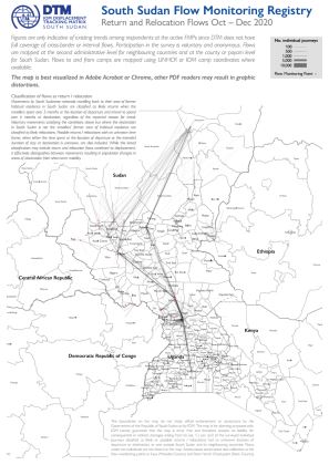
South Sudan — Flow Monitoring Registry — Return and Relocation Flows (October – December 2020)
This map shows a picture of return and relocation flows tracked by DTM's Flow Monitoring Registry in South Sudan and between South Sudan and neighbouring countries, based on interviews carried out at 34 Flow Monitoring Points between October and December 2020. Figures are only indicative of existing trends among respondents at the active FMPs since DTM does not have full coverage of cross-border or internal flows. Participation in the survey is voluntary and anonymous.Flows are mapped at the second administrative level for neighbouring countries and at the county or payam level for South Sudan. Flows to and from camps are mapped using UNHCR or IOM camp coordinates where available.The map is best visualized in Adobe Acrobat or Chrome, other PDF readers may result in graphic distortions.
South Sudan — Flow Monitoring Registry — Long / Medium Term Migration Flows (October – December 2020)
This map shows a picture of long / medium term migration flows tracked by DTM's Flow Monitoring Registry in South Sudan and between South Sudan and neighbouring countries, based on interviews carried out at 34 Flow Monitoring Points between October and December 2020. Figures are only indicative of existing trends among respondents at the active FMPs since DTM does not have full coverage of cross-border or internal flows. Participation in the survey is voluntary and anonymous.Flows are mapped at the second administrative level for neighbouring countries and at the county or payam level for South Sudan. Flows to and from camps are mapped using UNHCR or IOM camp coordinates where available.The map is best visualized in Adobe Acrobat or Chrome, other PDF readers may result in graphic distortions.
South Sudan — Flow Monitoring Registry — Mobility Network (October – December 2020)
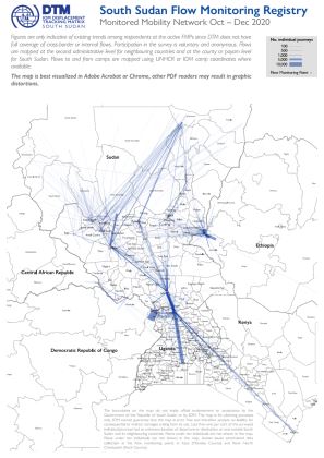
This map shows a picture of the human mobility network tracked by DTM's Flow Monitoring Registry in South Sudan and between South Sudan and neighbouring countries, based on interviews carried out at 34 Flow Monitoring Points between October and December 2020. Figures are only indicative of existing trends among respondents at the active FMPs since DTM does not have full coverage of cross-border or internal flows. Participation in the survey is voluntary and anonymous.Flows are mapped at the second administrative level for neighbouring countries and at the county or payam level for South Sudan. Flows to and from camps are mapped using UNHCR or IOM camp coordinates where available.The map is best visualized in Adobe Acrobat or Chrome, other PDF readers may result in graphic distortions.
South Sudan - Koch, Unity State Flood Analysis (September 2020)
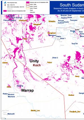
Seasonal Flood Analysis for Koch County in Unity State as of 28 and 29 December 2020.
South Sudan - Panyijar, Unity State Flood Analysis (September 2020)
Seasonal Flood Analysis for Panyijar County in Unity State as of 29 September 2020.
South Sudan - Ayod, Jonglei State Flood Analysis (September 2020)
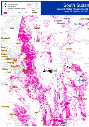
Seasonal Flood Analysis for Ayod County in Jonglei State as of 29 September 2020.
South Sudan - Twic East, Jonglei State Flood Analysis (December 2020)
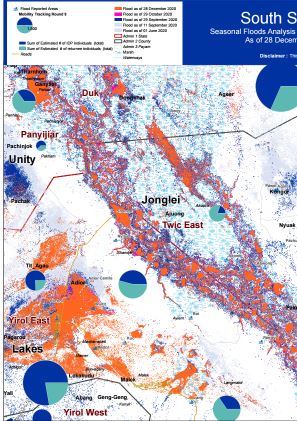
Seasonal Flood Analysis for Twic East County in Jonglei State as of 28 December 2020.
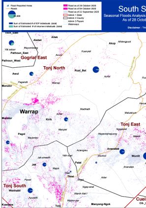
South Sudan - Tonj East County, Warrap State Flood Analysis (October 2020)
Seasonal Flood Analysis for Tonj East County in Warrap State as of 29 October 2020.
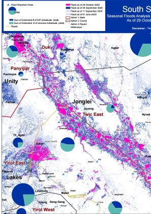
South Sudan - Twic East County, Jonglei State, Flood Analyiss (October 2020
Seasonal Flood Analysis for Twic East County in Jonglei State as of 29 October 2020.
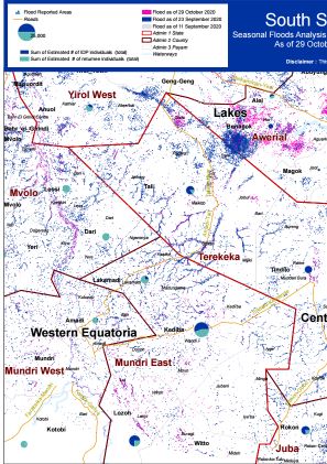
South Sudan - Terekeka County, Central Equatoria State Flood Analysis (October 2020)
Seasonal Flood Analysis for Terekeka County in Central Equatoria State as of 29 October 2020.
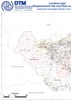
South Sudan - Mobility Tracking Round 9 Location Type Overview (September 2020)
This document contains country-level overview of location types assessed during Mobility Tracking Round 9 conducted between July and September 2020.
South Sudan - Mobility Tracking Round 9 Locations Covered by Sub-Area (September 2020)
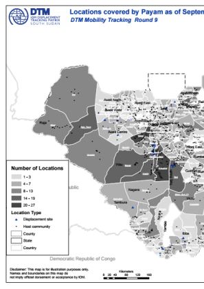
This document contains payam/sub-area level overview of assessed locations with confirmed presence of IDPs and returnees (Mobility Tracking Round 9, September 2020).
South Sudan - Mobility Tracking Round 9 Location Type by State (September 2020)
This document contains state-level maps with indicated location types (IDP, returnee) as per Mobility Tracking Round 9 assessment (September 2020).
South Sudan - Mobility Tracking Round 9 IDP and Returnee Locations (September 2020)
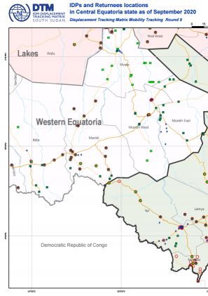
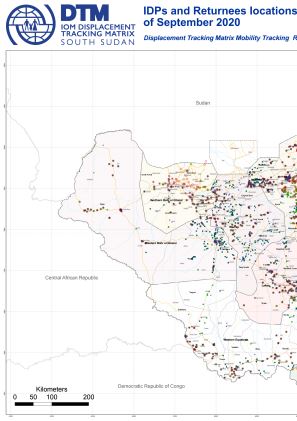
This map displays assessed locations with confirmed presence of IDPs and Returnees (Mobility Tracking Round 9, September 2020).
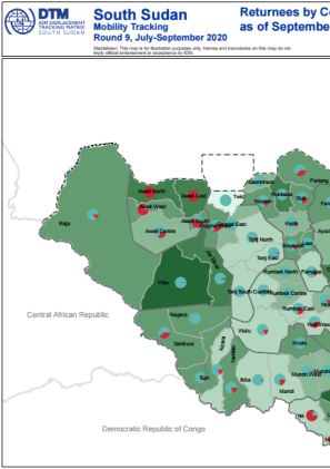
South Sudan - Mobility Tracking Round 9 Returnees by County (September 2020)
This map displays the number of returnees by county as of September 2020, Round 9 of Mobility Tracking.
South Sudan - Mobility Tracking Round 9 IDPs by County (September 2020)
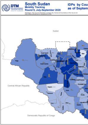
This map displays the number of IDPs by county as of September 2020, Round 9 of Mobility Tracking.
South Sudan - Duk County, Jonglei State Flood Analysis (September 2020)
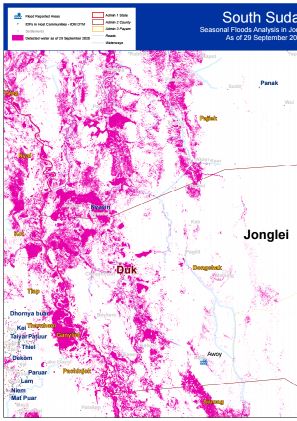
Seasonal Flood Analysis for Duk County in Jonglei State as of 29 September 2020.
South Sudan - Jonglei and Lakes State Flooding (September 2020)
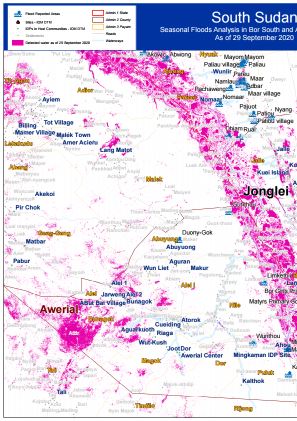
Seasonal Flood Analysis for Bor South County in Jonglei State and Awerial County in Lakes State as of 29 September 2020.
South Sudan — COVID-19 — Inflows From Neighbouring Countries (July 2020)
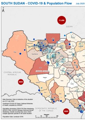
IOM DTM, UNHCR and REACH combined their flow monitoring data for South Sudan with geographically disaggregated data about COVID-19 cases in South Sudan and neighbouring countries compiled by UNICEF. This indicative map of population inflows aims to inform public health measures to reduce the risk of COVID-19 transmission and enable safe mobility. The map shows the total number of incoming individual movements recorded across all flow monitoring points.Data reflects the situation as of 31 July.
South Sudan — COVID-19 — Inflows from neighbouring countries (June 2020)
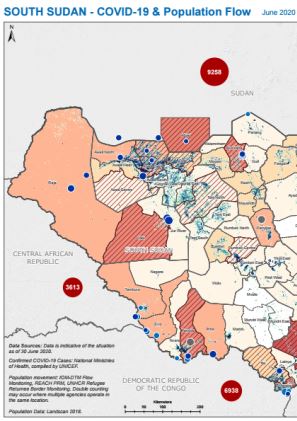
IOM DTM, UNHCR and REACH combined their flow monitoring data for South Sudan with geographically disaggregated data about COVID-19 cases in South Sudan and neighbouring countries compiled by UNICEF. This indicative map of population inflows aims to inform public health measures to reduce the risk of COVID-19 transmission and enable safe mobility. The map shows the total number of incoming individual movements recorded across all flow monitoring points.Data reflects the situation as of 30 June.
South Sudan — DTM / NBS Juba Urban EAs and Shelter Density Map
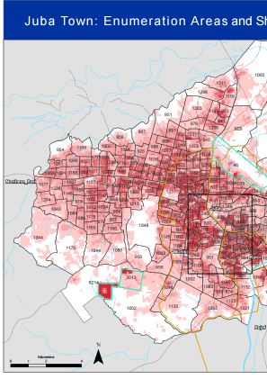
IOM DTM has ben collaborating with South Sudan's National Bureau of Statistics to develop updated enumeration areas for Juba Town and map shelter density using remote sensing data. The aim of this work is to inform the COVID-19 response and enable the roll-out of representative household surveys in collaboration with humanitarian and development partners.
South Sudan - Flood Analysis Twic East and Duk, Jonglei State (September 2020)
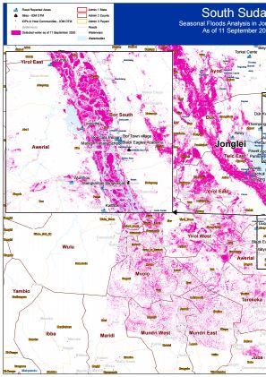
Seasonal Floods Analysis for Twic East and Duk, Jonglei State, with imagery as of 11 September 2020.


