South Sudan - Magwi County_Village Assessment Survey_Facilities Infrastructure and Services
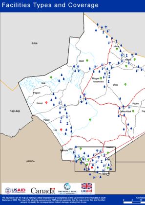
Since the beginning of the exercise in the last quarter of 2019, IOM’s Displacement Tracking Matrix (DTM) conducted Village Assessment Survey (VAS) across 7 counties covering 182 out of 219 bomas (achieving 83 per cent coverage) in Wau, Rubkona, Bor South, Torit, Magwi, Aweil Centre and Malakal counties. Additional 9 focus group discussions were conducted, due to varying perspectives on boma boundaries. To supplement the findings from the boma questionnaire, key informant interviews were conducted at 560 educational facilities and 150 health facilities. In addition to this, Facility, Infrastructure and Service mapping component geo referenced 3,227 facilities including administrative buildings, education facilities, healthcare facilities, markets, religious buildings, transport points and water points.

DTM Global Survey 2023
The Displacement Tracking Matrix (DTM) Global Survey 2023 is an annual stocktaking exercise which aims to present IOM DTM's operations and activities transparently. The Global Survey focuses on operations active from January 1 to December 31, 2023, with data collection occurring from February to April 2024.