Peru
Suivi des PDI
Mouvements de déplacement
cycle de collecte de données


À propos Peru
The Displacement Tracking Matrix (DTM) is a modular system that IOM uses to capture, process and disseminate information on the different phases of human mobility, routes and places of displacement, the degree of vulnerability and the main needs of protection of these populations around the world.
The El Niño coastal phenomenon, triggered by the increase in the surface temperature of the sea, caused continuous rainfall in Peru through February and March 2017. This increased rainfall led to severe flooding in rural communities and urban areas in 24 of the country’s 25 departments. Approximately 1.1 million people were affected in total. One third of the affected population was identified in the department of Piura. The flooding had a significant impact on the livelihoods of the affected population and caused significant internal displacement. DTM operations conducted three rounds of Mobility Tracking from April to September 2017.
Flow monitoring of Venezuelan population flows are ongoing since October 2017. The flow monitoring operations are conducted in collaboration with UNICEF and funded by UN CERF and USAID. The flow monitoring points are situated on the northern and southern borders of Peru, as well as important influx points such as in Metropolitan Lima.
Contacter
IOM Peru
iomperudtm@iom.int
Bailleurs de fonds
- CERF
- IOM
- PRM
La OIM Perú ha implementado la DTM sobre “Monitoreo de flujo de migración venezolana” en tres rondas. La Ronda 3 se aplicó en en las fronteras norte y sur del país y en puntos de afluencia en Lima Metropolitana entre abril y mayo del 2018.

DTM Peru has implemented two rounds on "Monitoring Venezuelan Migration Flows." Round 2 (R2), the subject of this report, was applied in the cities of Tumbes, Tacna and Metropolitan Lima between December 2017 and January 2018.

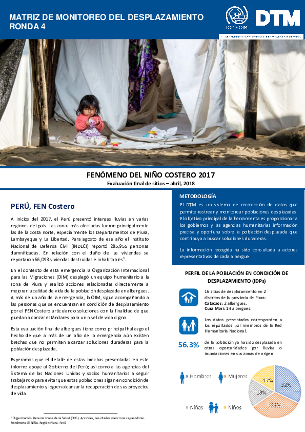
A inicios de 2017 en el Perú, el fenómeno del Niño Costero ha causado lluvias, huaicos e inundaciones, dejando a 285,955 personas damnificadas. Las regiones más afectadas han sido Piura, Lambayeque y La Libertad, al norte del país.
La OIM Perú ha implementado la DTM sobre “Monitoreo de flujo de migración venezolana” en dos rondas.

The following infographics provide an overview of the information obtained through data collection in Round 2 on the migration flows from Venezuela. Economic reasons are the main driver for displacement from Venezuela and 73% of the assessed individuals are under 35 years old.

The following infographics provide an overview of the information obtained through data collection in Round 2 on the migration flows from Venezuel0a, focusing on the following four thematic areas: Protection, living conditions, migratory route, labour information and public services.

Actualmente se estima que más de 1 millón de venezolanos se encuentran en el exterior. En la región sudamericana la migración se ha dado especialmente a los países de Argentina, Brasil, Chile, Colombia, Ecuador y Perú.


A inicios de 2017 en el Perú, el fenómeno del Niño Costero ha causado lluvias, huaicos e inundaciones, dejando a 283 mil personas damnificadas. Las regiones más afectadas han sido Piura, Lambayeque y La Libertad, al norte del país.

A la fecha, la cifra de la población afectada y damnificada ha superado el 1.3 millones de personas.

El fenómeno “El Niño Costero” que se generó por el incremento de la temperatura superficial del mar, causo precipitaciones continuas en los meses de febrero y marzo, afectando particularmente la costa norte de Perú. Se declaro un esdato de emergencia en 12 departamentos

El fenómeno “El Niño Costero” que se generó por el incremento de la temperatura superficial del mar, causo precipitaciones continuas en los meses de febrero y marzo, afectando particularmente la costa norte de Perú. Se declaro un esdato de emergencia en 12 departamentos y una


DTM Global Survey 2023
The Displacement Tracking Matrix (DTM) Global Survey 2023 is an annual stocktaking exercise which aims to present IOM DTM's operations and activities transparently. The Global Survey focuses on operations active from January 1 to December 31, 2023, with data collection occurring from February to April 2024.