-
Countries
-
Data and Analysis
-
Special Focus
-
Crisis Responses
Papua New Guinea
Papua New Guinea
Desplazados internos rastreados
Movimientos de desplazamiento
87,000
IDMC 2023
Ronda de recopilación de datos
Contacto
Lance Bonneau
Chief of Mission
lbonneau@iom.int
Current Donors
- USAID
- CERF
- USAID
Para obtener resultados de búsqueda más avanzados, vaya a la Página de búsqueda avanzada de informes
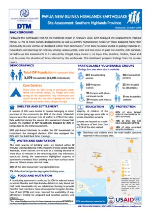
Papua New Guinea — Site Assessment: Southern Highlands Province (October 2018)
Following the earthquake that hit the Highlands region in February 2018, IOM deployed the Displacement Tracking Matrix (DTM) to track human displacements, as well as identify humanitarian needs for those displaced from their community to care centres or displaced within their community. DTM
Papua New Guinea — Hela, Southern Highlands and Western Provinces Internal Displacement Report (20 April 2018)
Following a 7.5 magnitude earthquake which hit the Highlands Region of Papua New Guinea (PNG) and affected an estimated 544,000 people in five provinces1, assessment teams visited 38 displacement sites2 in the Hela, Southern Highlands and Western Provinces of PNG between 10 – 27 March 2018.
Papua New Guinea – Dandan Care Center Site Assessment (23 January 2018)
Following a volcano eruption on Kadovar Island on the 5th of January 2018, Kadovar islanders were temporarily evacuated to safety on Ruprup Island before their relocation to Dandan care centre between 14th and 16th January.
Papua New Guinea – Profiling IDPs (December 2017)
This profiling report presents the findings of a survey conducted in provinces hosting internally displaced persons (IDPs) in Papua New Guinea (PNG).
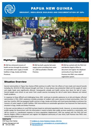
Papua New Guinea — Drought Resilience Building and Documentation of IDPs (31 December 2016)
During the reporting period IOM enhanced the recovery of health services through the provision of sustainable water supply at health facilities in Enga, Jiwaka and Simbu Provinces. IOM also built a gravity-fed water supply system providing clean water to 1,200 households in Morobe Province.
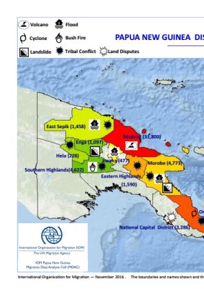
Papua New Guinea — Internal Displacement Map (November 2016)
This map is an annex to the report entitled “Internal displacements induced by natural and man-made hazards in Papua New Guinea (November 2016)”. It displays type and magnitude of displacement across Papua New Guinea as of November 2016.
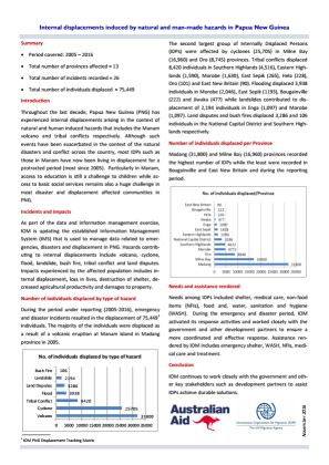
Papua New Guinea — Internal Displacement Overview (November 2016)
Throughout the last decade, Papua New Guinea (PNG) has experienced internal displacements arising in the context of natural and human induced hazards that includes the Manam volcano and tribal conflicts respectively.
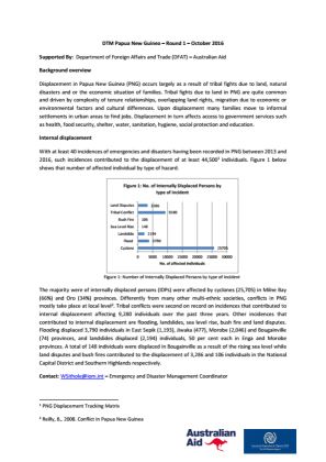
Papua New Guinea — Internal Displacement Report 1 (October 2016)
Displacement in Papua New Guinea (PNG) occurs largely as a result of tribal fights due to land, natural disasters and or the economic situation of families. With at least 40 incidences of emergencies and disasters having been recorded in PNG between 2013 and 2016, such incidences contributed
Pagination
Para obtener resultados de búsqueda más avanzados, vaya a la Página de búsqueda avanzada de conjuntos de datos


