Kenya
Desplazados internos rastreados
Movimientos de desplazamiento
Ronda de recopilación de datos


Para obtener resultados de búsqueda más avanzados, vaya a la Página de búsqueda avanzada de informes
DTM Kenya conducted Mobility Tracking in Wajir County in May 2023. Results are reported herein.

In May 2023, Mobility Tracking was conducted in Garissa County, Kenya. Key findings are presented herein.

Mobility Tracking and Multi Sectoral Location Assessment Data was collected in Wajir County between 1 and 19 November 2023. Key findings included:

Mobility Tracking is a DTM methodology which aims to quantify the presence of population categories as well as the populations’ reasons for displacement, length of displacement and needs.

Based on findings from Mobility Tracking Round 2 conducted in Turkana, the infographic presents "key findings,"- those most surprising, concerning or informative form the overall assessment findings.

This report presents findings from the third round of Mobility Tracking.

To assess drought-induced mobility and identify the most urgent sectoral needs experienced by the community, the IOM Displacement Tracking Matrix (DTM) Mobility Tracking and Multi-Sectoral Location Assessment (MSLA) baseline assessment
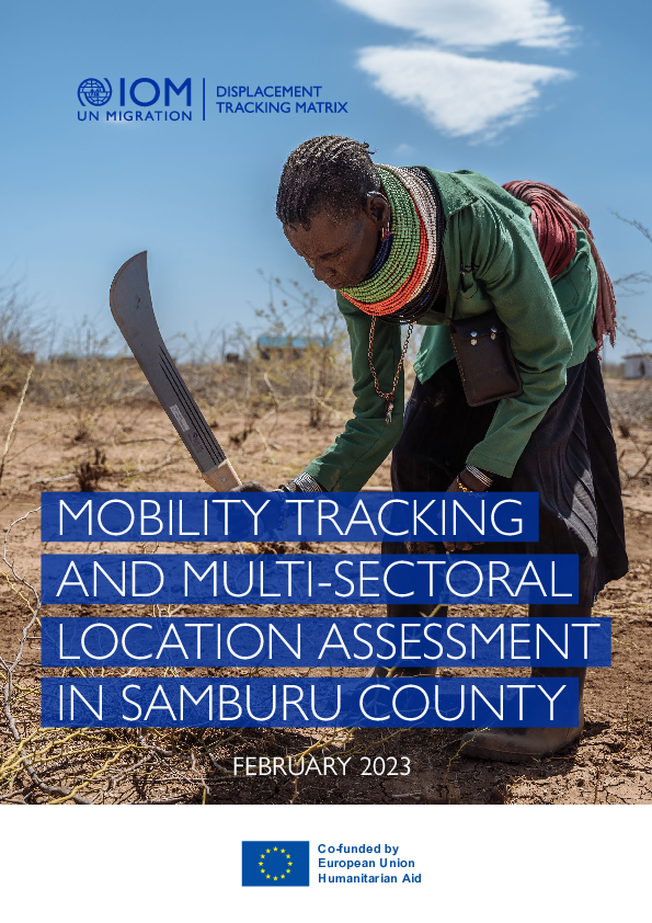
Samburu County is the tenth largest county in Kenya covering 21,000 square kilometers (km)2, located in the upper Northern region of Kenya and is among the 29 counties identified as ASAL area. The county has three sub-counties with headquarters located at Maralal Town.
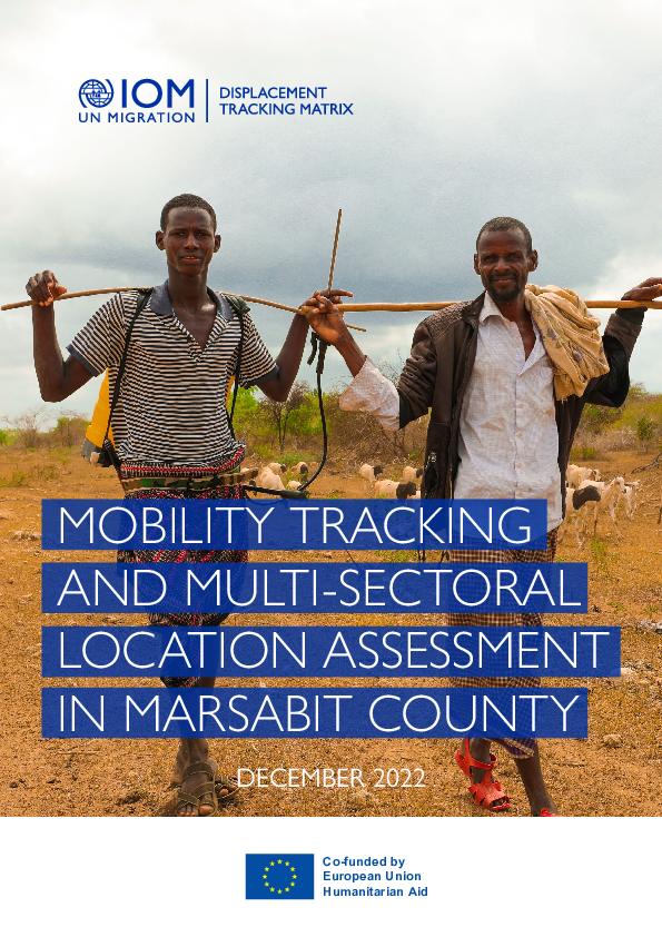
Marsabit County is the second largest county in Kenya covering 70,961.2 square kilometers(km)2, located in the upper Northern region of Kenya. It has an international boundary with Ethiopia to the north,
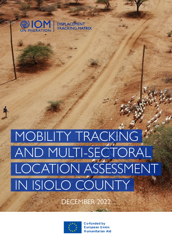
To assess the drought-induced mobility and identify the most urgent sectoral needs experienced by drought-affected communities, the IOM’s Displacement Tracking Matrix (DTM)-Mobility Tracking and Multi-sectoral Location Assessment (MSLA) has been rolled out in Isiolo County.
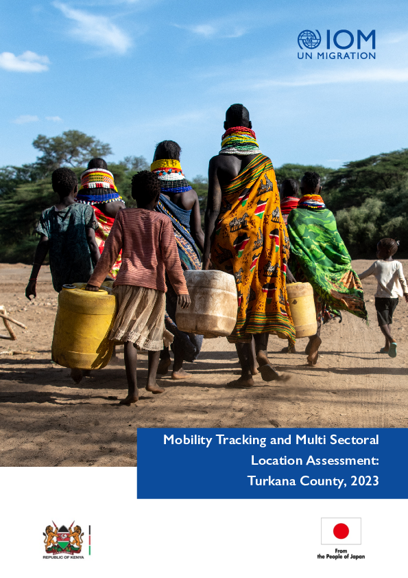
To better understand drought induced mobility and identify the most urgent sectoral needs experienced by the community, the IOM’s Displacement Tracking Matrix (DTM) Mobility Tracking and Multi-sectoral Location Assessment (MSLA) has been rolled out in Turkana County, with the support of Lotus Ken

Over the past two years, the drought situation in northeastern Kenya has been deteriorating, resulting in approximately 4.4 million people living in the arid and semi-arid lands of Kenya facing acute food insecurity (IPC Phase 3 and above).1 This is the worst drought in over 40 years2; these seve
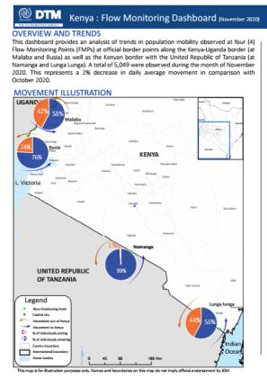
This dashboard provides an analysis of trends in population mobility observed at four (4) Flow Monitoring Points (FMPs) at official border points along the Kenya-Uganda border (at Malaba and Busia) as well as the Kenyan border with the United Republic of Tanzania (at Namanga and Lunga Lunga).

This dashboard provides an analysis of trends in population mobility observed at four (4) Flow Monitoring Points (FMPs) at official border points along the Kenya-Uganda border (at Malaba and Busia) as well as the Kenyan border with the United Republic of Tanzania (at Namanga and Lunga Lunga).
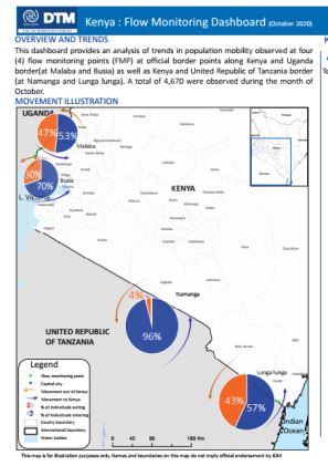
This dashboard provides an analysis of trends in population mobility observed at four(4) flow monitoring points (FMP) at official border points along with Kenya and UgandaBorder (at Malaba and Busia) as well as Kenya and United Republic of Tanzania border
Para obtener resultados de búsqueda más avanzados, vaya a la Página de búsqueda avanzada de conjuntos de datos
DTM Kenya – Mobility Tracking Turkana, Garissa, Marsabit and Isiolo Round #3 (May 2024)
2024-05-31
<p>Dataset from Round 3 of DTM Kenya's Mobility Tracking. Mobility Tracking is a DTM methodology that aims to quantify the presence of population categories of interest, reasons for displacement, length of displacement and needs within defined geographical areas and locations, with a…
Kenya — Baseline Assessment / Multi-Sectoral Location Assessment - Samburu County — Round 1
2023-01-28
During this round, the data collection was conducted in 3 sub-counties of Samburu county in 16 wards across 110 sub-locations covering 686 settlements. From 16 to 28 January 2023, the DTM team in Kenya has identified 7,879 returnees households, 9,736 arrival households, 4,772 returnee households…
Kenya — Baseline Assessment / Multi-Sectoral Location Assessment - Marsabit County — Round 1
2022-12-01
The data collection was conducted across the entire nine sub-counties of Marsabit County in 19 Wards, 134 sub-locations and 1,045 settlements.
Kenya — Baseline Assessment / Multi-Sectoral Location Assessment - Isiolo County — Round 1
2022-12-01
The data collection was conducted across the entire three sub-counties of Isiolo County in 10 Wards, 88 sub-locations and 566 settlements.
Kenya — Baseline Assessment / Multi-Sectoral Location Assessment - Turkana County — Round 1
2022-11-12
The assessment was conducted across the entire Turkana County by enumerators in 30 Wards, 174 sublocations and 1,867 settlements. A total of 53 enumerators and five team leaders who are familiar with the local and administrative contexts were locally engaged from each sub-location, through the…
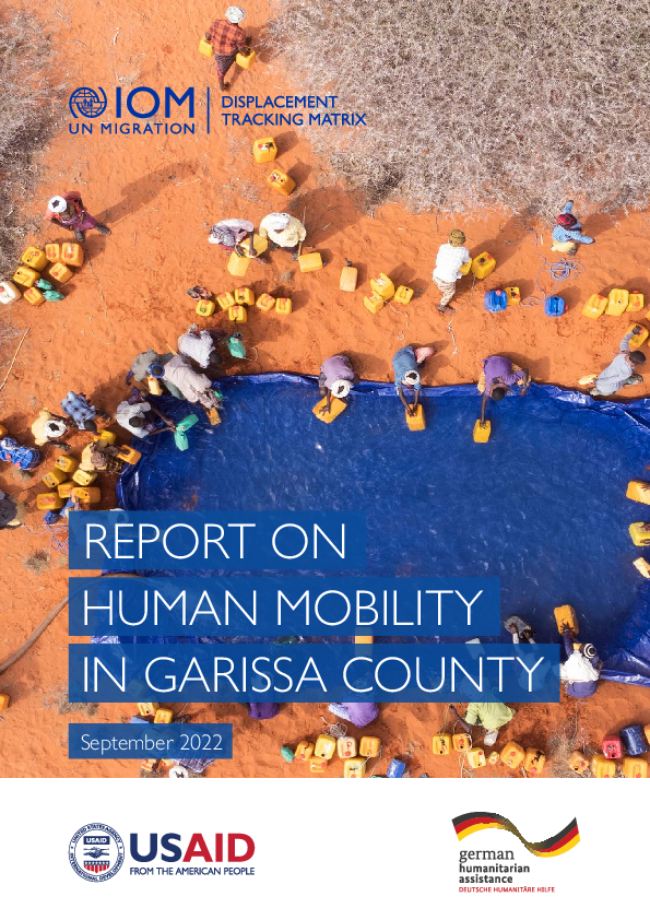
Kenya — Baseline Assessment - Garissa County — Round 1
2022-09-19
DTM’s mobility tracking baseline area assessment was conducted in coordination with Garissa County Government, County Commissioner’s office, and NDMA from 5 to 19 September 2022 in Garissa. The assessment was conducted at two levels – ward level and settlement level, using key informant interviews…
Site Assessment Round 1
2015-04-30
A site assessment is a sub-component of mobility tracking. It aims to collect data on population presence, living conditions and needs in a particular displacement site or community.

DTM Global Survey 2023
The Displacement Tracking Matrix (DTM) Global Survey 2023 is an annual stocktaking exercise which aims to present IOM DTM's operations and activities transparently. The Global Survey focuses on operations active from January 1 to December 31, 2023, with data collection occurring from February to April 2024.