Mozambique - Disaster Risk Assessment - Hazard Mapping Baseline Assessment Manica and Sofala (November 2021)
May 12 2022
- Baseline Assessment
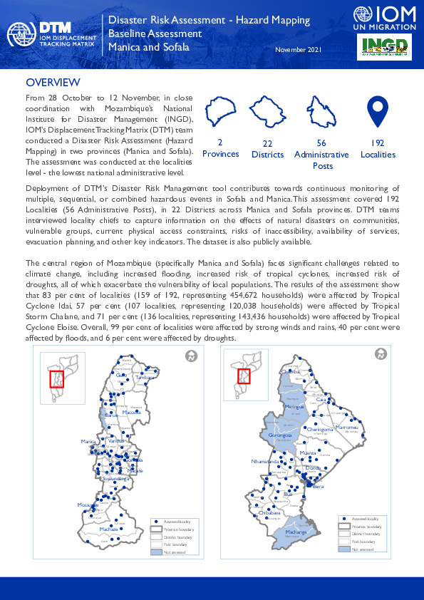
From 28 October to 12 November, in close coordination with Mozambique’s National Institute for Disaster Management (INGD), IOM’s Displacement Tracking Matrix (DTM) team conducted a Disaster Risk Assessment (Hazard Mapping) in two provinces (Manica and Sofala). The assessment was conducted at the localities level - the lowest national administrative level.
Deployment of DTM’s Disaster Risk Management tool contributes towards continuous monitoring of multiple, sequential, or combined hazardous events in Sofala and Manica.This assessment covered 192 Localities (56 Administrative Posts), in 22 Districts across Manica and Sofala provinces. DTM teams interviewed locality chiefs to capture information on the effects of natural disasters on communities, vulnerable groups, current physical access constraints, risks of inaccessibility, availability of services, evacuation planning, and other key indicators. The dataset is also publicly available.

DTM Global Survey 2023
The Displacement Tracking Matrix (DTM) Global Survey 2023 is an annual stocktaking exercise which aims to present IOM DTM's operations and activities transparently. The Global Survey focuses on operations active from January 1 to December 31, 2023, with data collection occurring from February to April 2024.